Accurate coordinates are the foundation of every GIS, surveying, engineering, construction, and navigation project in Qatar. Whether you’re working with government datasets, survey records, CAD drawings, utility networks, or GPS devices, understanding the Qatar National Coordinate System is essential.
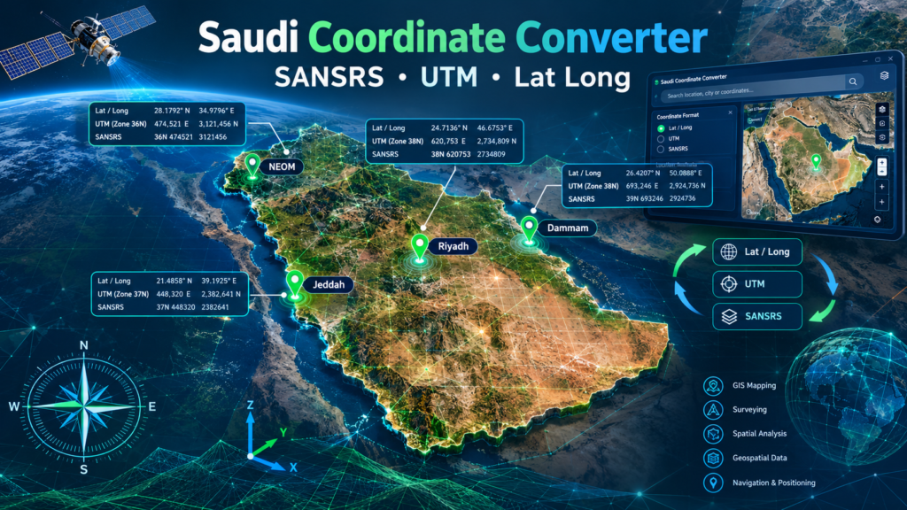
To simplify coordinate transformations, our Qatar Coordinate System Converter allows users to instantly convert between QND95 Qatar National Grid, Latitude/Longitude (WGS84), and UTM Zone 39N, while providing an interactive map to visualize locations in real time.
Qatar Coordinate Converter
Convert between QND95, UTM Zone 39N, and Latitude/Longitude. View results instantly on the map.
The tool is developed by TEAMGIS
What Is the Qatar Coordinate System?
Qatar uses the QND95 (Qatar National Datum 1995) as its official geodetic reference framework.
Official Coordinate Reference System
QND95 / Qatar National Grid (QNG)
- EPSG: 2932
- Datum: Qatar National Datum 1995 (QND95)
- Projection: Transverse Mercator
- Units: Meters
- Common Usage:
- Surveying
- Construction Projects
- Utility Networks
- GIS Mapping
- Government Spatial Data
This coordinate system ensures accurate positioning across Qatar and is widely adopted by government agencies, engineering consultants, and mapping professionals.
Why Coordinate Conversion Is Important
Data often comes from multiple sources using different coordinate systems:
| Source | Coordinate System |
|---|---|
| GPS Devices | WGS84 Latitude/Longitude |
| Engineering Drawings | QND95 Qatar National Grid |
| Satellite Imagery | WGS84 |
| GIS Databases | QND95 or UTM |
| Survey Equipment | QND95 |
Without proper transformation, datasets may appear hundreds of meters away from their true location.
A reliable coordinate converter eliminates these problems.
Features of the Qatar Coordinate Converter
Our online converter includes:
✅ QND95 Qatar National Grid Conversion
✅ Latitude / Longitude Conversion
✅ UTM Zone 39N Conversion
✅ Bi-directional Transformations
✅ Instant Results
✅ Interactive Mapping
✅ Mobile Friendly Interface
✅ No Installation Required
✅ Browser-Based Processing
Supported Coordinate Systems
1. QND95 / Qatar National Grid
The official coordinate system of Qatar.
Example:
Plain Text
Easting: 234567.89
Northing: 287654.12
2. Geographic Coordinates (Latitude / Longitude)
Used by GPS systems and online maps.
Example:
Plain Text
Latitude: 25.286106
Longitude: 51.534817
3. UTM Zone 39N
A commonly used projected coordinate system within Qatar.
Example:
Plain Text
Zone: 39N
Easting: 345678.90
Northing: 2798765.43
Interactive Map Functionality
One of the most powerful features is the integrated map.
Users can:
- Convert coordinates
- Plot locations instantly
- Verify positional accuracy
- Zoom in to property level
- Switch between map layers
- Visualize field data
The map automatically centers on converted coordinates.
This reduces errors and helps users validate transformations before exporting data.
Who Can Use This Tool?
Surveyors
Transform field survey coordinates into GIS-ready formats.
Engineers
Convert project coordinates for design and construction.
GIS Analysts
Work across multiple geospatial datasets.
Utility Companies
Coordinate infrastructure mapping projects.
Government Agencies
Manage spatial data using the official QND95 system.
Students & Researchers
Learn and analyze Qatar’s geospatial reference systems.
Example Conversion Workflow
Suppose a survey team records:
Plain Text
QND95 Easting: 235100.25
QND95 Northing: 294550.18
The converter can instantly:
- Transform to Latitude/Longitude
- Transform to UTM Zone 39N
- Plot the location on the map
- Verify field positioning
All within seconds.
Benefits of Using the Online Converter
Improved Accuracy
Uses official coordinate transformation parameters.
Faster Workflow
No need for GIS software to perform simple transformations.
Easy Verification
Map visualization confirms locations immediately.
Increased Productivity
Reduces manual coordinate calculations.
Cross-Platform Accessibility
Works on desktops, tablets, and mobile devices.
GIS Applications in Qatar
The converter is ideal for:
- Infrastructure Development
- Utility Management
- Smart City Projects
- Transportation Planning
- Asset Management
- Environmental Studies
- Oil & Gas Operations
- Land Administration
- Construction Monitoring
Why Use an Interactive Coordinate Converter?
Traditional coordinate conversion often requires:
- GIS software licenses
- Desktop installations
- Specialized training
An online converter removes these barriers.
Anyone can convert, validate, and map coordinates directly from a web browser.
Start Converting Qatar Coordinates Today
Whether you are a GIS professional, surveyor, engineer, student, or government agency, our Qatar Coordinate System Converter provides a fast and reliable solution for transforming QND95, Latitude/Longitude, and UTM coordinates while visualizing locations on an interactive map.
Convert coordinates instantly, verify positions visually, and improve the accuracy of your geospatial workflows using the official Qatar coordinate reference systems.