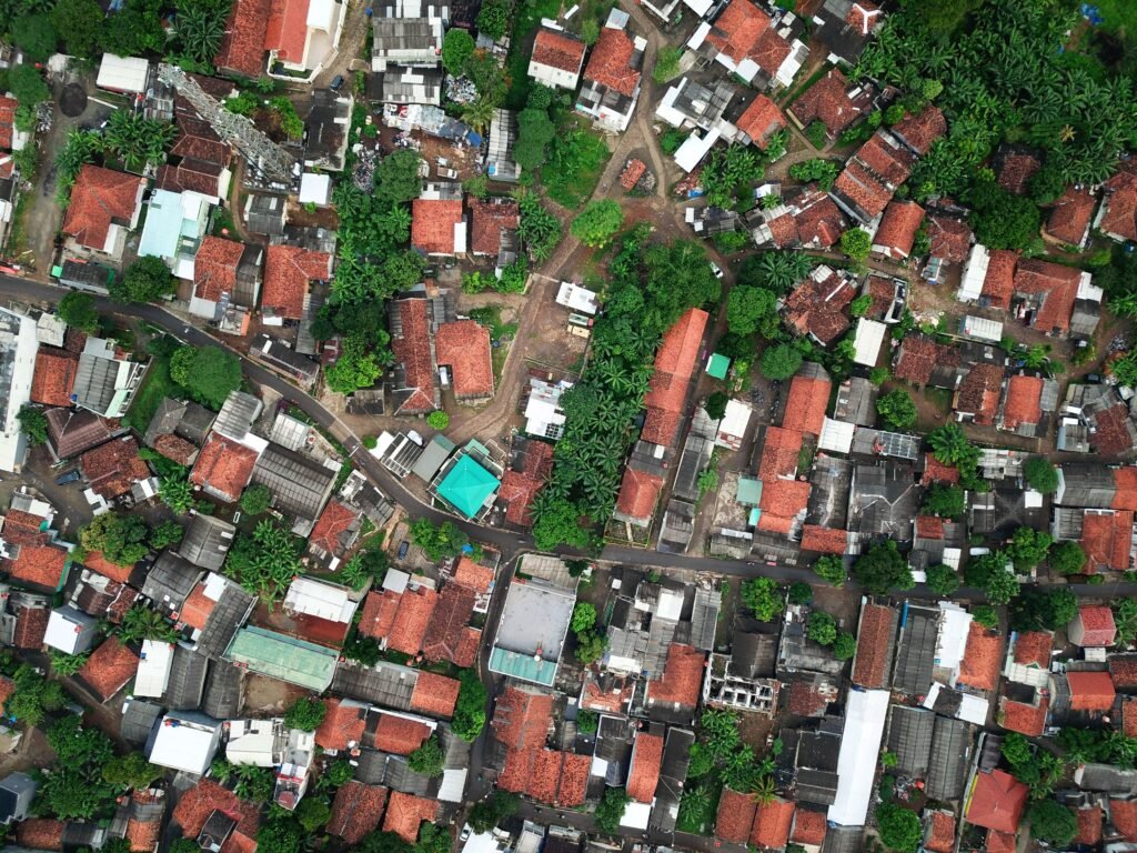
Measuring land area or distance on satellite imagery has become essential for homeowners, farmers, engineers, travelers, and GIS professionals. Whether you want to calculate the size of your plot, measure the distance between two locations, or analyze land for construction, an online satellite‑based measurement tool makes the process fast, accurate, and accessible to everyone.
In this guide, you’ll learn how satellite measurement works, why it’s more accurate than manual methods, and how you can use our free online length & area measurement tool to calculate distances and land sizes anywhere in the world.
🌐 What Is Satellite Imagery Measurement?
Satellite imagery measurement uses high‑resolution global maps to calculate:
- Length / Distance (roads, boundaries, routes)
- Area (plots, farms, fields, construction sites)
- Perimeter (property boundaries)
- Coordinates (latitude & longitude)
Modern mapping platforms like Esri, Google Maps, and OpenStreetMap provide detailed satellite layers that allow precise measurement down to a few meters.
This technology is widely used in:
- Real estate
- Agriculture
- Urban planning
- Construction
- GIS & surveying
- Travel & navigation
📏 Why People Worldwide Search for Online Measurement Tools
Millions of users search daily for tools like:
- Measure area on map
- Land area calculator
- Distance measurement online
- Satellite plot measurement
- GIS measurement tool
The reason is simple: traditional methods are slow and inaccurate, while satellite tools give instant results with global coverage.
🛰️ Benefits of Measuring Area on Satellite Imagery
✔ 1. Global Coverage
Measure land anywhere — UAE, India, Pakistan, USA, UK, Africa, Europe — without visiting the location.
✔ 2. High Accuracy
Satellite imagery provides precise coordinates and distance calculations.
✔ 3. No Equipment Needed
No GPS device, no survey tools — just your phone or laptop.
✔ 4. Free & Easy
Our tool is completely free and works instantly.
✔ 5. Perfect for All Use Cases
From farmers measuring fields to homeowners checking plot size, it works for everyone.
🧭 How the Online Measurement Tool Works
Our tool uses:
- Leaflet.js for interactive mapping
- Esri World Imagery for satellite tiles
- Leaflet Draw for drawing lines and polygons
- Geodesic calculations for accurate area & distance
You simply:
- Zoom into your location
- Draw a line → get distance
- Draw a polygon → get area
- View results instantly
🧮 What You Can Measure
📌 Distance (Length)
Measure roads, boundaries, walking routes, or straight‑line distances.
📌 Area (Land Size)
Calculate plot size, farmland area, construction site coverage, or any land parcel.
📌 Perimeter
Get total boundary length of your land.
📌 Coordinates
Identify exact latitude & longitude of any point.
🌍 Who Uses This Tool?
🏡 Homeowners
To check property size before buying or selling.
🚜 Farmers
To measure fields for crop planning.
🏗 Engineers & Contractors
To estimate land for construction projects.
🗺 GIS Professionals
For mapping, analysis, and land assessment.
✈ Travelers & Explorers
To measure hiking routes or distances between locations.
🔧 Try the Free Satellite Measurement Tool
You can now measure length, area, and perimeter directly on satellite imagery using our free tool.
It works instantly, requires no login, and supports all countries.